WELCOME TO THE
Geospatial Council of Australia
Find your place. Join the Geospatial Council to grow your career or business and be recognised for your professional expertise
Policy & advocacy
Industry consultation
Workforce expertise
Coaching & certification
Professional Development
Events & CPD
Awards & recognition
Industry excellence
Who we are
The peak professional body for the geospatial sector
The Geospatial Council of Australia represents the interests of organisations and individuals, including new and emerging professionals, working in the vast range of occupations for surveying, space and spatial in the digital world.
Today’s geospatial professionals are leaders and innovators, advancing our industries with technologies using located based services, drones and autonomous vehicles, 3D modelling, robotics, artificial intelligence, machine learning, virtual reality and the Internet of Things.
Build your profile and professional expertise through our areas of practice, special interest groups and more.
Find your place. There’s a world of possibilities in the future of geospatial when you join the Geospatial Council.
LATEST NEWS
Member news
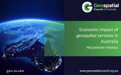
Geospatial information projected to contribute additional $81 billion in GDP to Australian economy by 2034, GCA Report finds
By 2033-34, it is projected that the economic impact of geospatial services in Australia could contribute an additional $81 billion in GDP.
Advocacy

Introducing the Geospatial Council of Australia Hydrographic Area of Practice Coaching Program 2023/2024
The Geospatial Council of Australia (GCA) is proud to announce the launch of the Hydrographic Area of Practice Coaching Program in a bid to foster the professional growth of aspiring hydrographic surveyors.
Events
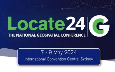
Registration is open for Locate24
GCA, in collaboration with key government and industry partners, has engaged ACIL Allen to conduct an economic study assessing the impact of geospatial information and technology on the Australian economy
supporting partners and organisational members


")


The Geospatial Council of Australia recognises the unceded sovereign lands and rights of Aboriginal and Torres Strait Island peoples as the First Peoples of these lands and waters. First Nations culture and traditions are a rich source of knowledge and discovery. The Geospatial Council recognises a professional commitment to engage and act meaningfully through reciprocal partnership and relationships with Aboriginal and Torres Strait Islander peoples.